1920-JAN-01 |
1920-JAN-01 |
| Autonomous Imamate of OMAN | |
 |
|
| (Nizwa + Tanuf) |
 |
INTERIOR OMAN Region |

|
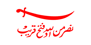
| Flag or logo since 1913-05-24* | Emblem or Symbol* |
 Imam Salim bin Rashid al-Kharusi (ruler of OMAN since 1911-01-01) |
| Capitals & administrative places*: | Nizwa (Nazwa) |
|
| Official & national languages: | Arabic (ar) . |
|
| ADAM | ADAM District (Adam) | Local: | ADM (Adm) |
| BAHLA | BAHLA District (Bahla) | Local: | BAHLA (Bahla) |
| BANI HINA | BANI HINA Tribal Chiefdom (Nizwa) | Local: | Tamimat BANI HINA : تميمة بني حنة (ar) (Nazwa) |
| BANI RUWAHA | BANI RUWAHA Tribal Chiefdom in Wadi Samail (Wadi Samail) | Local: | Tamimat BANI RUWÂHAH : تميمة باني رواحة (ar) + BANI RUWAHA Tribal Chiefdom (en) (Wadi Sama´ïl) |
| BID BID | BID BID District (Bid Bid) | Local: | BIDBID (Bidbid) |
| HAMRA | HAMRA District (Al Hamra) | Local: | AL-HAMRA (Al-Hamra) |
| IZKI | IZKI District (Izki) | Local: | ZIKKI (Zikki) |
| MANAH | MANAH District (Manah) | Local: | MANAH (Manah) |
Other Independent or Semi-Independent Polities within the 2024's internationally recognized Country boundaries: |
| DHOFAR | Sheikhdom of DHOFAR [under Omani Suzerainty] (Mirbat) |
| OMAN | Autonomous Imamate of OMAN (Nizwa + Tanuf) |
| SOHAR | Sultanate of SOHAR [Batinah Coast Protectorate in rebellion] (Sohar) |
Other Territories or Entities within the 2024's internationally recognized Country boundaries: |
| BANI RIYAM | Emirate of BANI RIYAM (Ibra) |
| CENTRAL OMAN | CENTRAL OMAN Region (Haima) |
| DHAHIRAH | DHAHIRAH Region (Ibri) |
| HARITH | AL-HARITHI Tribal Chiefdom (Sur) |
| KHURIA MURIA ISLANDS | KHURIA MURIA ISLANDS Group (Al-Hallaniyah) |
| MUSCAT | Governorate of MUSCAT (Muscat) |
| MUSCAT AND OMAN | Sultanate of MUSCAT AND OMAN [British Protected State] (Muscat a + Salalah r) |
| SALALAH | British Protectorate of Dhofar in SALALAH (Salalah) |
| |
|
|
ethnia.org © J.-M. Merklin |
|

|